
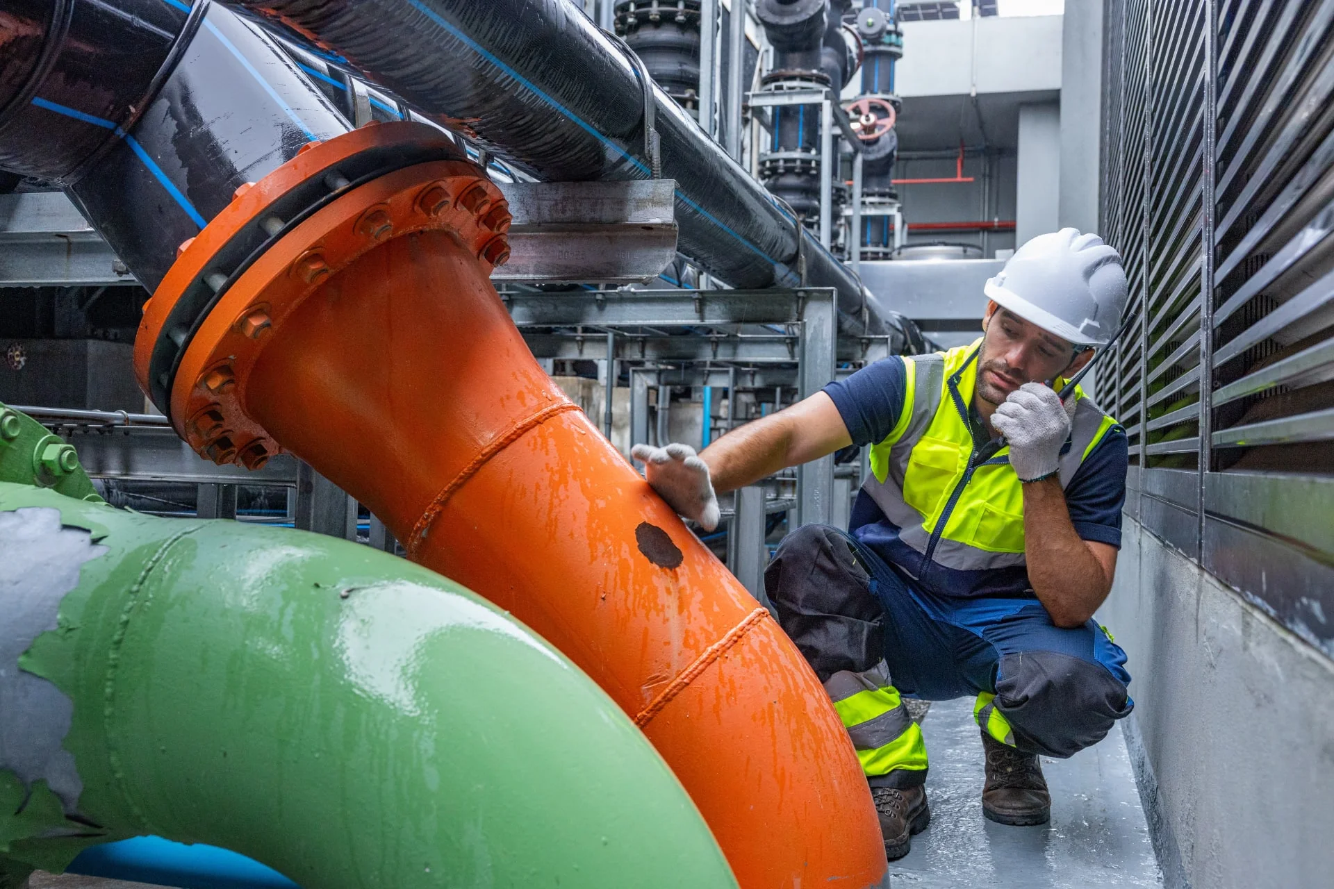
Finding Classifications & Damage Documentation by Drone – A Practical Guide
Visual inspection VT1–VT3, finding categories and what 4K + LiDAR deliver in professional finding documentation. Normative fundamentals, classification systems and practical application – from the Kopterflug perspective.
- VT qualification levels VT1–VT3 explained
- Finding categories per ASME/API and German regulations (BetrSichV)
- 4K + LiDAR – the documentation quality leap
Visual Testing (VT): Norms and Qualification Levels
The Visual Testing (VT) is the fundamental non-destructive testing method – and the one most profoundly transformed by drone deployment. It is normatively regulated in DIN EN ISO 17637 (visual examination of fusion-welded joints) and DIN EN 13018 (general principles for visual examination). For qualification of testing personnel, DIN EN ISO 9712 applies.
Qualification Levels VT1–VT3
- VT1 (Level 1): Inspector can conduct visual examinations per instruction. He does not evaluate independently but reports findings to VT2/VT3.
- VT2 (Level 2): Inspector can independently conduct visual examinations, create inspection instructions and evaluate findings. This is the core level for industrial inspections.
- VT3 (Level 3): Highest qualification level – the inspector can develop inspection programmes, certify other inspectors and conclusively evaluate complex findings.
In drone inspections a distinction is made: the drone pilot carries out the image capture – he does not necessarily need to be VT-qualified. Finding assessment requires a VT2/VT3 qualification. In practice, Kopterflug has both certified pilots and NDT-qualified personnel in the team who conduct the evaluation.
Direct vs. Indirect Inspection with Drone
DIN EN 13018 distinguishes between direct visual examination (inspector has direct visual contact with the surface, maximum eye distance 600 mm, illumination min. 500 lux) and indirect visual examination (using optical aids such as endoscopes, mirrors – or drone video systems).
Drone inspection is classified as indirect visual examination in current professional practice. This means: findings that go beyond the indirect VT and require measurement-based evaluation (e.g. wall thickness measurement, crack length measurement) must be supplemented by additional testing methods (UT, MT, PT). The drone provides the orientation – it shows exactly where testing must be conducted.
Finding Classes: How Damage is Categorised
In industrial inspection there is no uniform finding classification system – various norms, regulations and operator specifications define different categories. Kopterflug follows the most common systems:
Finding Categories per ASME/API System (Pressure Equipment)
For pressure vessels and tanks we follow API 510 (Pressure Vessel Inspection Code) and API 653 (Tank Inspection, Repair, Alteration, and Reconstruction):
- Category A – Immediate action required: The finding poses an immediate hazard. Shutdown or immediate repair required. Example: through-corrosion, active leak, crack in pressure-bearing seam.
- Category B – Next inspection/maintenance: Damage present but no immediate risk. Must be rectified at the next planned shutdown. Example: advanced corrosion pitting over 30% wall thickness loss, coating damage over larger areas.
- Category C – Monitoring: Minor finding, no immediate action but progress check at next inspection. Example: surface corrosion, slight coating delamination.
- Category D – No finding: Surface in proper condition.
Finding Classes per German Regulations
In German regulations (BetrSichV, TRBS 1112) a distinction is made between defects (remediable defect without immediate danger) and significant defects (immediate action required). Authorised inspection bodies (ZÜS) such as TÜV, DEKRA or BÜV also use their own evaluation systems.
For finding documentation at Kopterflug: every identified finding receives a unique finding ID, a GPS/LiDAR localisation in the 3D model, photo documentation from the 4K material and an initial assessment category. The final categorisation is the responsibility of the commissioned expert or ZÜS.
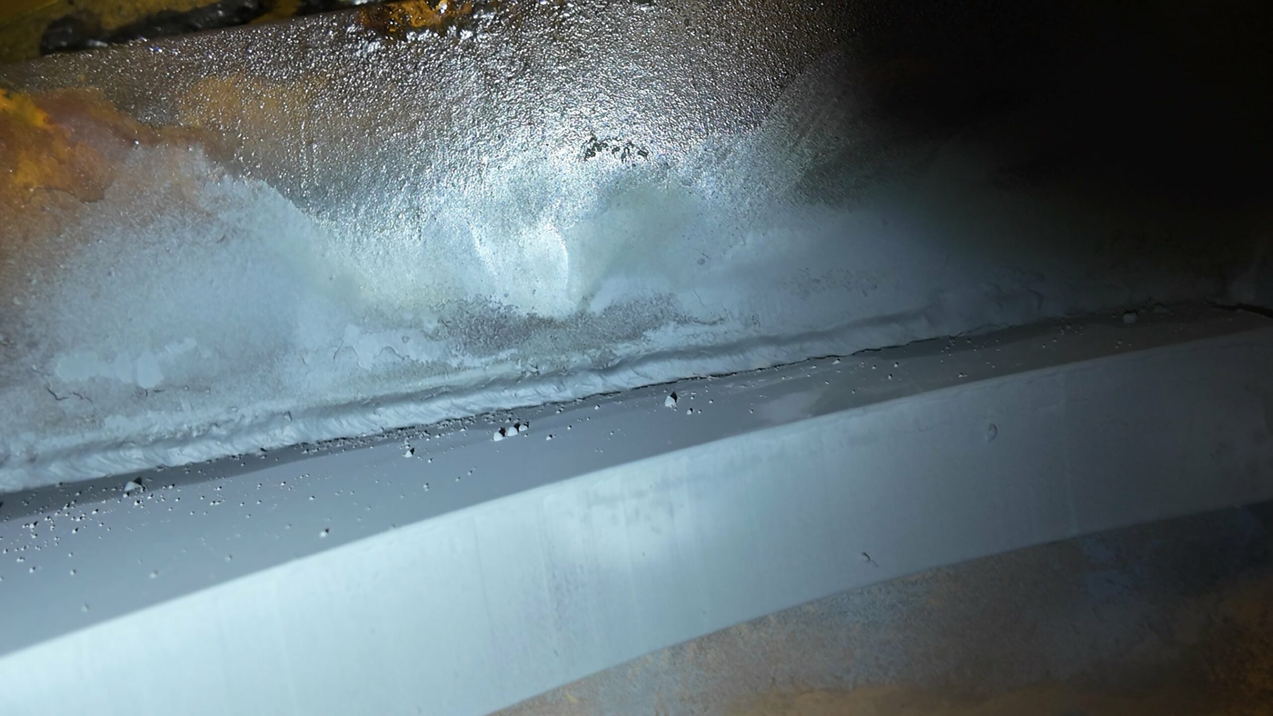
Crack in a weld seam – precisely localised in the 3D model, documented at the finding level, categorised per API/BetrSichV.
What a Professional Drone Finding Report Contains
A complete finding report from a drone inspection contains significantly more than a conventional handwritten inspection report. The following elements are standard:
Structure of a Kopterflug Finding Report
- Cover page: Contract data, equipment ID, date, testing personnel, applied norm, equipment used (drone type, camera system, sensors)
- Inspection scope: Which areas were inspected, which were not (and why not – e.g. lack of accessibility)
- Test conditions: Atmosphere, temperature, lighting conditions, limitations
- Finding list: Tabular overview of all findings with ID, location, description, category, photo reference and LiDAR coordinate
- Photo documentation: Annotated 4K still images for each finding, scale bar where applicable, context overview shots
- 3D model (where LiDAR is used): Georeferenced point cloud with finding markers – as interactive 3D PDF or as .PLY/.OBJ file
- Thermography appendix (where thermal imaging is used): Radiometric images with temperature scale, anomaly markers and interpretation notes
- Summary and recommendations: Prioritised action list based on finding categories
Legal Certainty of Documentation
The finding report is a legally relevant document. For inspection-mandatory plants per BetrSichV Appendix 2, documentation must meet the requirements of TRBS 1201. The retention obligation is generally the lifetime of the plant plus 5 years. Drone video material and 3D scans supplement the written report – they are not a replacement but an extension.
How 4K Camera and LiDAR Improve Documentation Quality
The quality leap compared to conventional visual inspection lies in the reproducibility and completeness of documentation. An inspector climbing a ladder can take 100 photos – but he cannot position the camera at every spot, and his photos are neither georeferenced nor usable as complete geometry documentation.
4K Video Documentation: Advantages over Photo Protocols
- Complete surface coverage: The video footage of the entire flight covers every accessible surface – no area remains undocumented.
- Frame-accurate evaluation: In Flyability Inspector 4.0 you can navigate frame by frame through the video to evaluate findings with the highest level of detail.
- Finding comparison over time: Current footage is compared with footage from previous inspections. Damage progression is quantifiable.
- Revision-proof archiving: The video material is a timestamp-based, unalterable primary document.
LiDAR 3D Scanning: Geometry as an Evaluation Dimension
LiDAR adds a dimension to documentation that cannot be achieved with camera data alone: geometry. The point cloud of the Ouster OS0-32 scanner in the ELIOS 3 has an accuracy of ±3 cm for typical industrial plants. This enables:
- Wall thickness reductions to be estimated by comparison with the as-built model (not measured – precise wall thickness measurement requires UT)
- Deformations and distortions to be quantified (denting, bulging, axis offset)
- Volumetric deposits (slag, corrosion products, incrustations) to be captured in their spatial extent
- Findings to be precisely localised – the expert knows to within 5 cm exactly where the crack is in the 8-metre-high vessel
This combination of visual documentation and 3D geometry makes the drone finding report the most comprehensive inspection document currently available for confined space applications.
Your Contacts for Finding Documentation
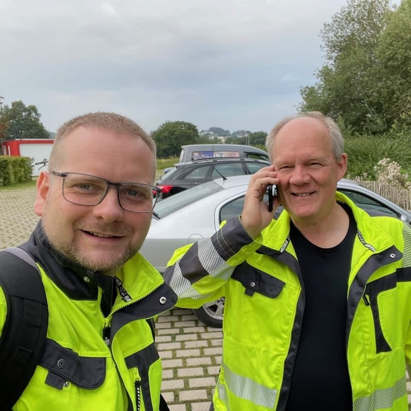
Dipl.-Ing. Karsten Lehrke and Christian Engelke – your direct contacts for professional drone finding documentation.
We advise on norm-compliant documentation – from finding categorisation to integration into BetrSichV/TRBS documentation requirements. Our finding reports are designed as a basis for certified inspectors and authorised inspection bodies.
Related Services
- Confined Spaces Inspection – Safe inspection of confined spaces without human entry with indoor drone.
- Tank Inspection – Professional tank inspection by drone – inside and outside without scaffolding.
- Boiler Inspection – Water-tube boilers and steam generators safely inspected by drone.
- Industrial LiDAR Survey – LiDAR 3D scanning for precise plant surveying.
- 8 NDT Methods Overview – Non-destructive testing methods and drone compatibility.
- Industrial Drone Inspection – Overview of all inspection services.
Frequently Asked Questions
What is the difference between direct and indirect visual testing?
Direct visual testing: the inspector has direct visual contact with the surface, maximum eye distance 600 mm per DIN EN 13018. Indirect visual testing: testing via optical aids (endoscopes, drones, cameras). Drone inspection is classified as indirect visual testing. Findings requiring measurement-based evaluation (crack length, wall thickness) must be supplemented by further NDT methods.
Does a drone pilot need VT qualification?
The pilot does not necessarily need VT qualification for conducting the image capture. Finding assessment requires VT2/VT3 qualification per DIN EN ISO 9712. In practice Kopterflug has NDT-qualified personnel who evaluate the drone footage and create the finding documentation.
Which finding classification system does Kopterflug use?
We orient ourselves to the most commonly used systems for the respective plant type: API 510/653 for pressure vessels and tanks, DIN EN 13018 for general visual testing, and BetrSichV/TRBS for German regulatory requirements. The final categorisation is always by the commissioned expert or authorised inspection body (ZÜS).
How are findings georeferenced in the LiDAR model?
During post-processing in Flyability Inspector, findings are marked directly in the 3D point cloud with position coordinates. This creates a unique spatial reference – each finding has X/Y/Z coordinates that are reproducible at the next inspection. The finding can be found in the 3D model by navigating to its coordinates.
Can the drone finding report replace a TÜV/DEKRA expert report?
No – but it is an excellent preparation and documentation foundation. The drone finding report documents the visual condition systematically with 4K and 3D data. The expert report by a ZÜS (authorised inspection body) is a regulatory requirement for mandatory inspections per BetrSichV. The drone data significantly supports the expert in his assessment.
How long does it take to create the finding report?
Typically 2–5 working days after the inspection, depending on plant complexity and number of findings. For urgent assessments we can provide a preliminary report with key findings within 24 hours. The final report with complete 3D model and annotated finding documentation follows within the standard lead time.
What happens to findings categorised as “Category A – immediate action”?
We communicate critical findings immediately – without waiting for the final report. You are informed on-site or by phone on the day of the inspection. Category A findings are specifically highlighted in the preliminary report and are immediately submitted to the responsible expert or operator for decision-making.
Are drone finding reports legally recognised in Germany?
Drone-based visual inspection (VT) is increasingly accepted as a documentation method. The legal recognition depends on the specific regulatory context: for voluntary condition monitoring it is unproblematic; for mandatory inspections per BetrSichV, acceptance by the responsible ZÜS must be clarified in advance. We clarify this before the inspection.
Get in Touch
Have questions about finding documentation or need a quote for a drone inspection with standardised finding classification? Fill out the form below and we’ll get back to you within 24 hours.